Before 2000 or thereabouts BNP (Borivali National Park) as it was fondly called by many who ventured into the park to encounter ‘raw nature’ for various reasons, depending on their dispositions. Some were bird watchers, some botanists studying the indigenous flora (trees, shrubs, orchids, fungi etc.), some studying insects, some reptiles, some artists and some trekkers, you name it. It was the happy hunting ground for many a passion. I was a mix of most of the above. I had my first acquaintance with the park in 1980 and how I have enjoyed, only I know. I wish to share some of my experiences. I relished exploring and finding routes on my own, covering the length and breath of the park.
Unfortunately all this had to end as the park got more popular and began to attract many picnickers, who would come in droves on Sundays and holidays and leave the park in a mess, some even used to bring gas cylinders to cook. The forest department banned entry to most areas, and now only allows only specific trails at quite a high cost, accompanied by a forest ranger(guide). I was my own guide. Many of us old-times enjoyed unrestricted entry at no cost. I accept that things have to change and so be it.
TRAILS IN BORIVALI NATIONAL PARK
Before 1995, tribals who stayed in various hamlets would also roam freely, collecting forest produce, wood for fuel and of course some brewing liquor. They would use these inner trails, which we would also use to enter the interior and what is now called the core area of the park.
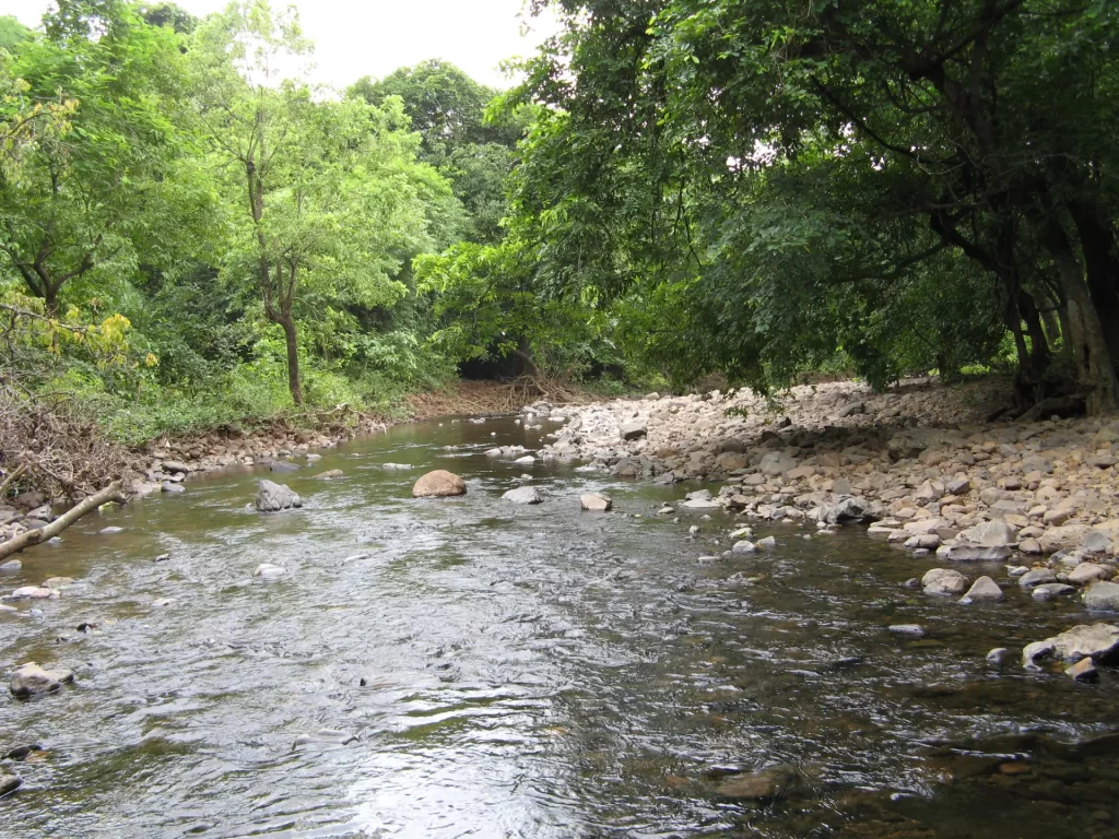
The best time to explore the inner trails is October to May. The forest in the monsoon months would be infested with mosquitoes and most of the inner trails would be covered with undergrowth. During the monsoon we would restrict ourselves to the main trails, from Bamboo hut, near the Tulsi phata, to View point and further to Thane, Wagle estate. The trail from Bamboo Hut near Tulsi phata was called Yevoor trail, because prior to the Air Force station being built, the trail would go up to View Point and then descend to Yevoor village in Thane. I have lost count as to how many times I have visited View point, could be around 50 times at least.
Silonda trail offered varions options :-
- To the two streams and back.
- To View Point via 2 trails.
a) Between the 2 streams, a path on the right led to the Yevoor trail (mentioned above, which started near Tulsi phata), somewhere mid-way between the start and View point.
b) Ahead of the two streams there was a path only used by locals, a climb of about 700-800 feet that would lead to the main ridge leading to View point from the north of the park. - Silonda trail to Dahisar Check naka.
- Silonda trail to Cheena creek.
- Silonda trail to Yevoor village.
- Silonda trail to the ridge mentioned in 2b and back. Just before the ridge, there was an open undulating area with a number of Ber trees. We used to visit this area around 26 Jan as the Ber would be ripe and we would enjoy.
Trails 3, 4 and 5 also involved reaching the ridge mentioned in 2b. It was a junction point where trails met. One path gradually ascended southwards climbing up to View point. Another going northwards towards Vasai creek, a bifurcation on the left would lead to Dahisar check naka. Another trail descending eastwards and then bifurcating, one going the Yevoor village and another to Chenna creek.
Trails from Kanheri caves entrance.
At the last turn to Kanheri on the right there were 2 trails.
- The first one leading to an open area what we would call Peacock point would lead us to the road to Tulsi lake (now core area).
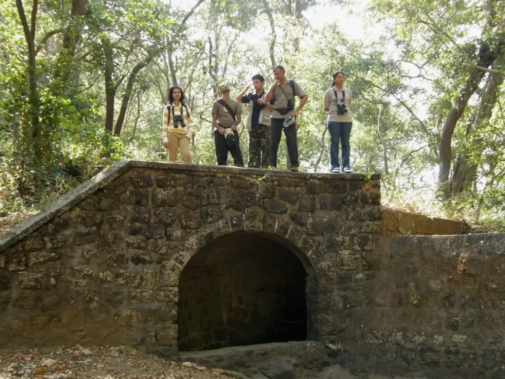
- The second trail would start from what we used to call the Nursery rocks, as rock climbers practiced their skills here. This trail would go deep into the forest and offer us various options. a) A trail leading to the top of Kanheri caves. b) A trail leading to the tunnel, the overflow from Tulsi lake, and then to the banks of Tulsi lake. c) A trail leading to Bhoot bangla, and then further going to Mulund, if one wished.
Trail from Wagle Estate Thane to Kanheri Caves, or even to Borivali.
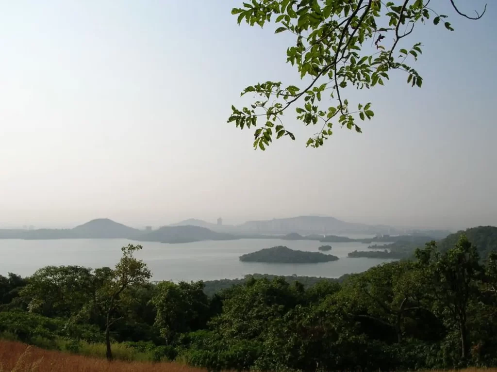
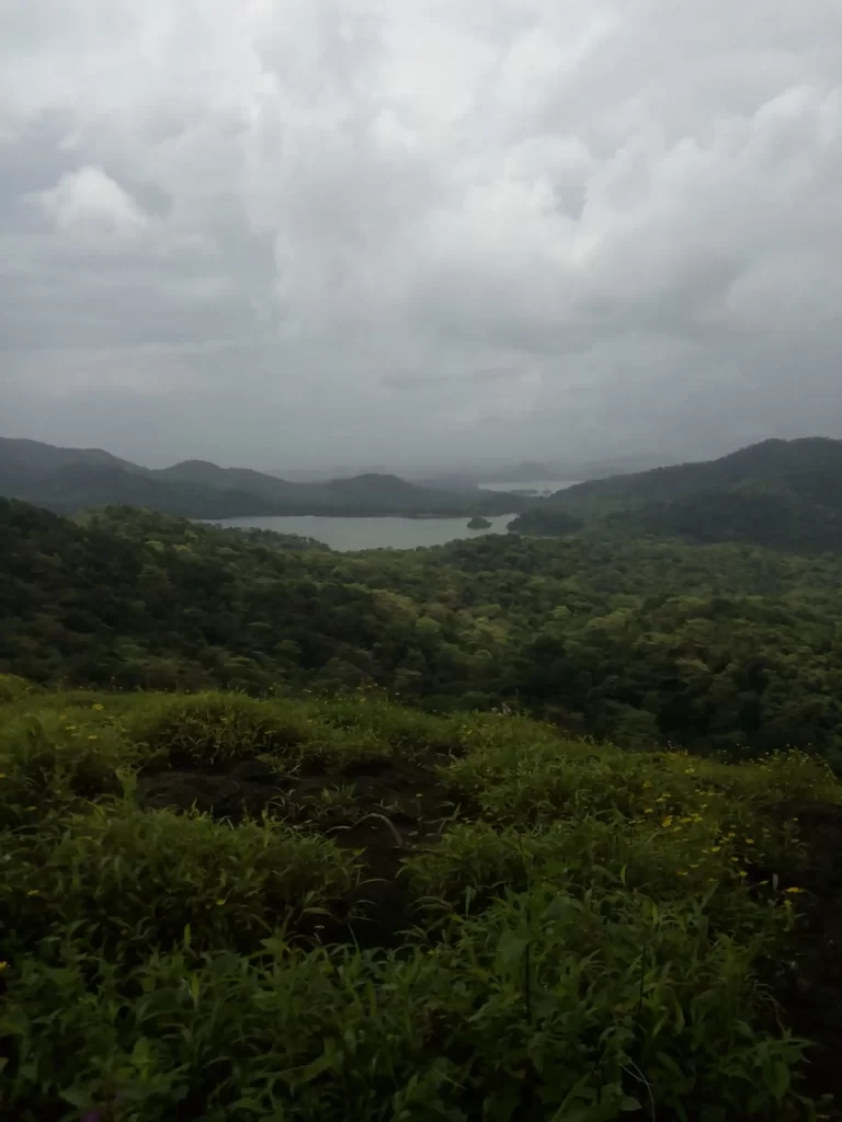
This trail was possible prior to the the construction of the Air Force station at View Point. It was one of the classic treks to do, one would get a view of the three lakes, Tulsi, Vihar and Powai from different point on the trek. From the Mama Bhanja range, at a height of about 1200 feet it is basically a long ridge walk, descending about 400 feet and then gradually ascending to a height of 1365 feet, the height of View point. A couple of times we did this by moonlight, starting from Wagle estate about 9 pm and reaching Kanheri caves at around 3 am, slept at the caves, and then went to Borivali in the morning.
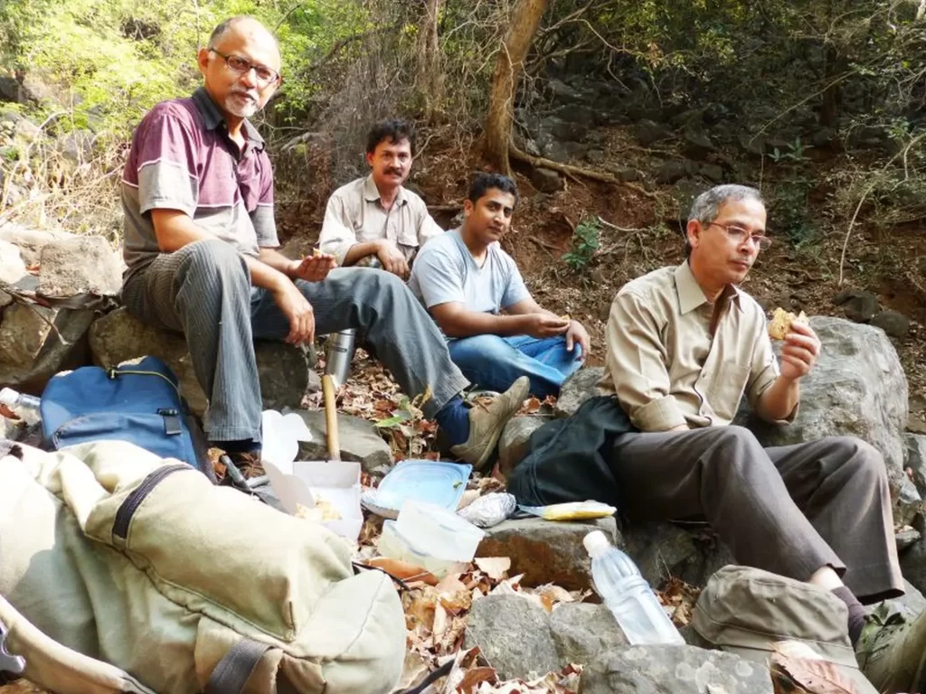
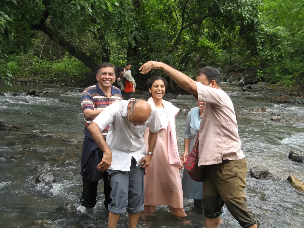
Unfortunately no photos of those early days as I started carrying a camera after 2005.
Trails from Goregaon into the National Park.
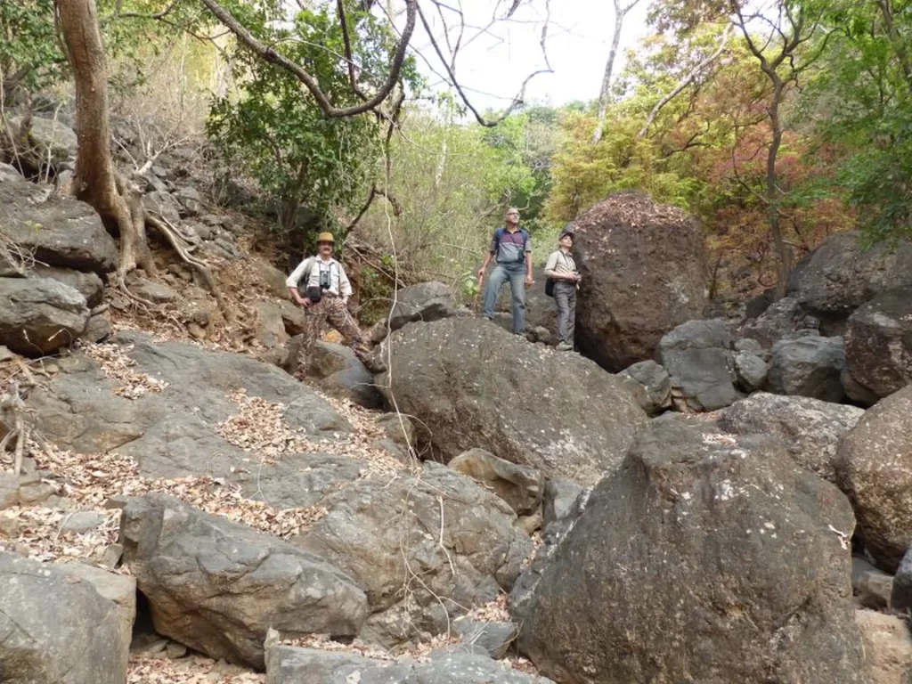
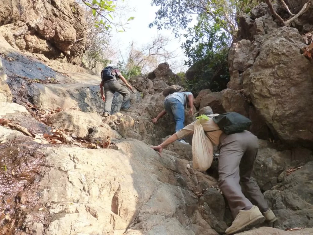
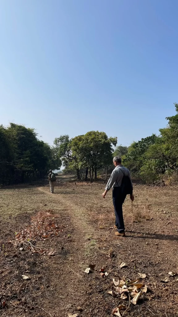
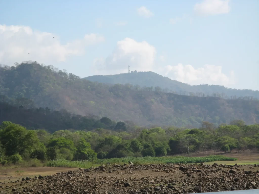
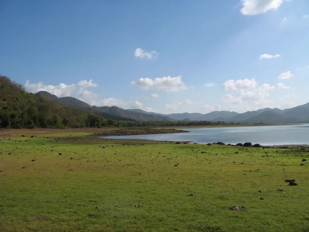
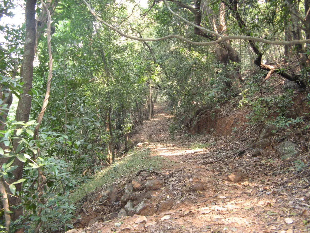
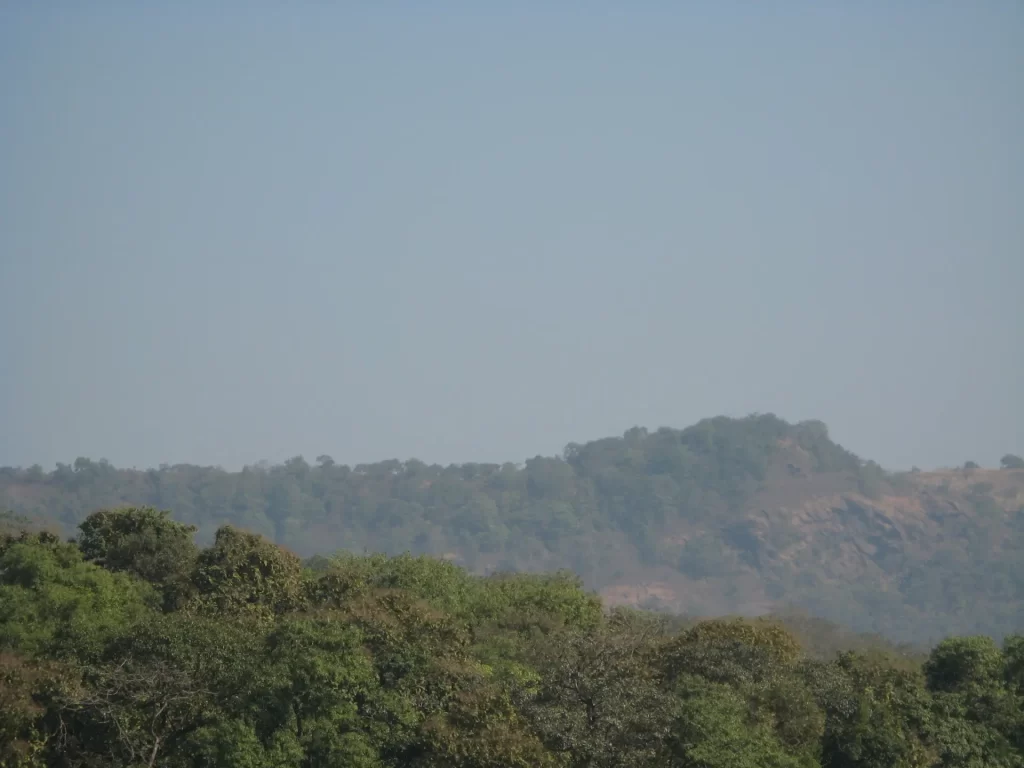
To the left of the road from Haathi Gate, near Film City to Tulsi Lake is a forested hill reaching a height of almost 1200 feet. This hill offers various trails for a forest ramble of 3-4 hours. The western slopes of these hills between Goregaon and Kandivali have been badly mauled by slums, but the eastern slopes facing Vihar and Tusli lake have good forests. Over the years I have enjoyed exploring these hills. Just like the Kanheri Hill that has a plateau at the top (known as View Point), this also has a plateau at a height of about 1200 feet and is the home of many a leopard, as we found their droppings all over the place. We once were lucky to see a leopard on this plateau, that passed in front of us, barely 20 feet away. There are various routes leading up to the plateau, I shall describe in detail one of them with photos that is to say the least, thrilling for anyone who likes the wild.
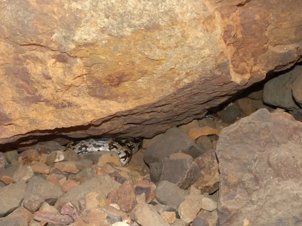
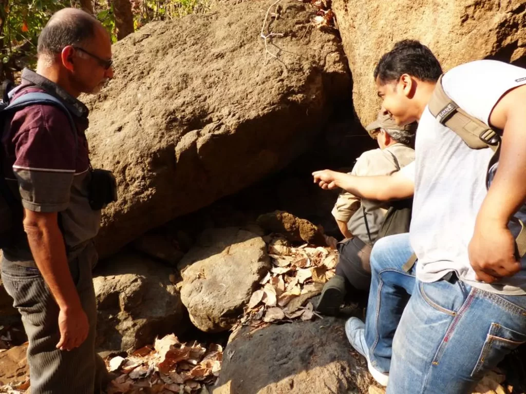
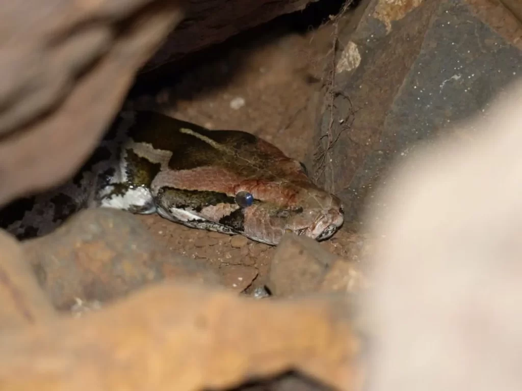
The TRAIL. Upto 2000, BNHS would organize various trails, mainly on and just off the road to Vihar and Tulsi lake. Just after culvert 10, there was descent down to culvert 13, where during the monsoon a fast flowing stream would go under the road and flow to Vihar lake. Old BNHS members would remember, that just after culvert 10, we would enter a valley on the left, which was named Pongam valley, as the valley had many Pongam trees. This stream would flow through Pongam valley. By January, this stream would dry up and we would climb up to it’s source. The early part of the trail was steep had a number of boulders and required a bit of rock climbing. On one occasion we were lucky to come by the home of a rock python. For about a kilometer the the dry stream bed would gradually climb uphill. The last part of the stream would again involve a steep rocky climb, leading to a level area, the source of the stream, at a height of about 900 feet. Here there were two paths, one leading East, to what we called Vihar View and also Sambar point, because we saw sambar here on a couple of occasions. This spot is one of the highest spots of this range with an excellent view of Vihar Lake and beyond. The other path would lead north west to the plateau I wrote about earlier.