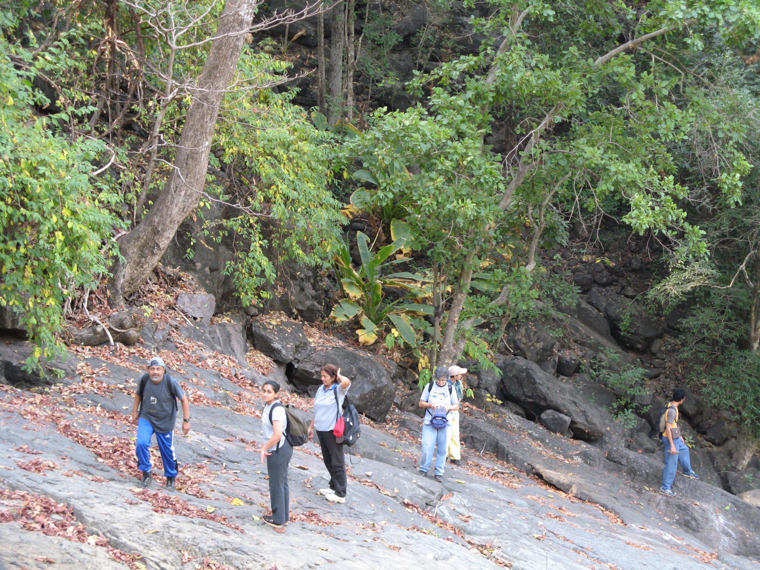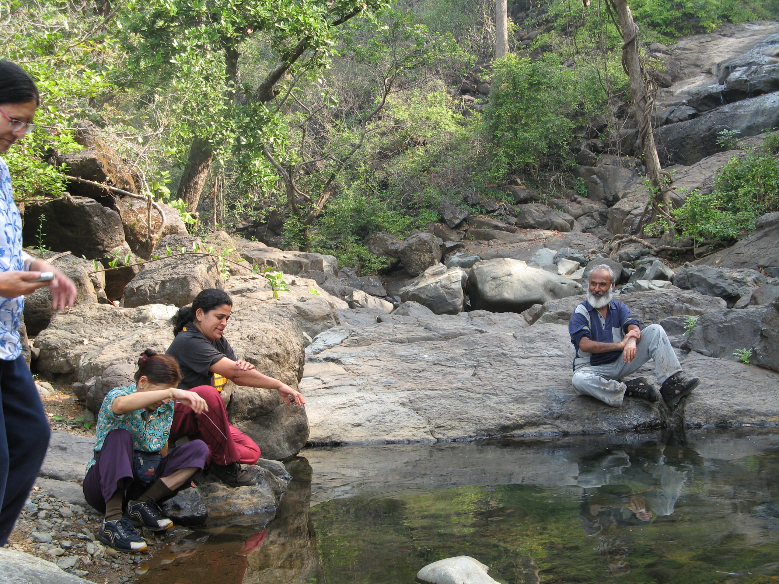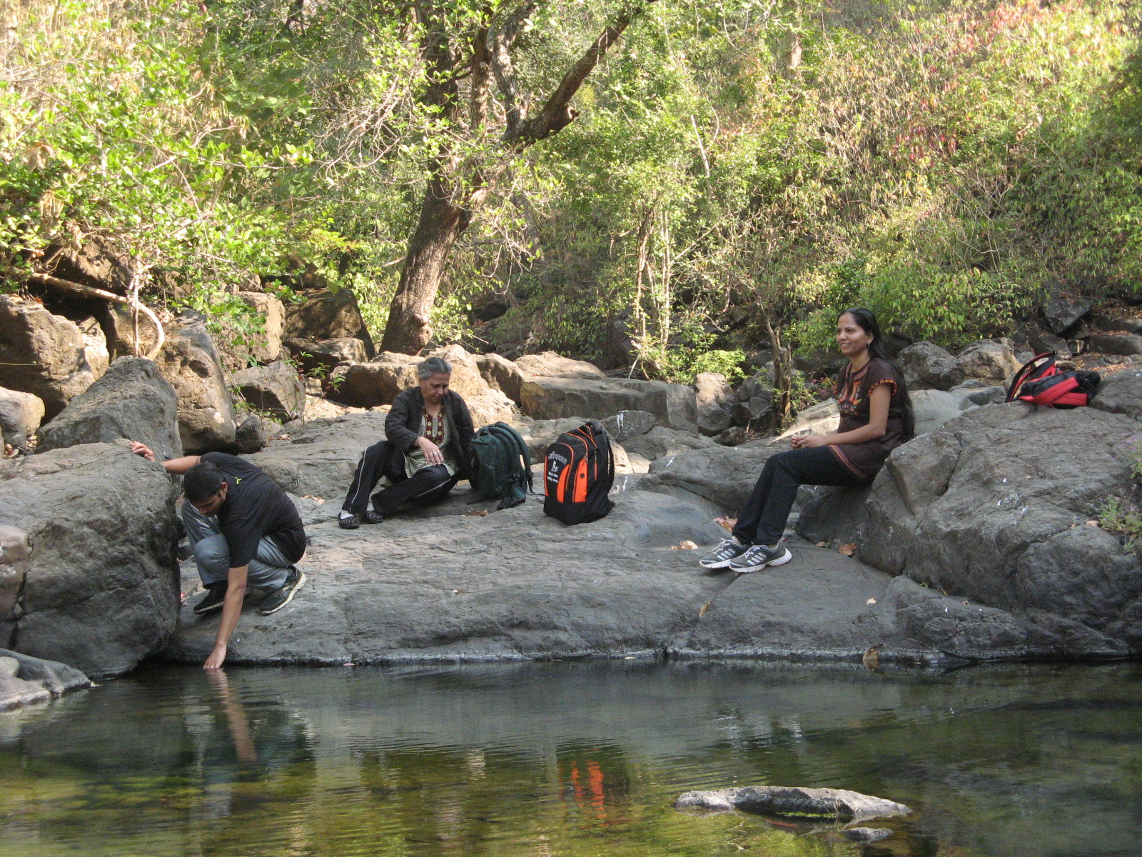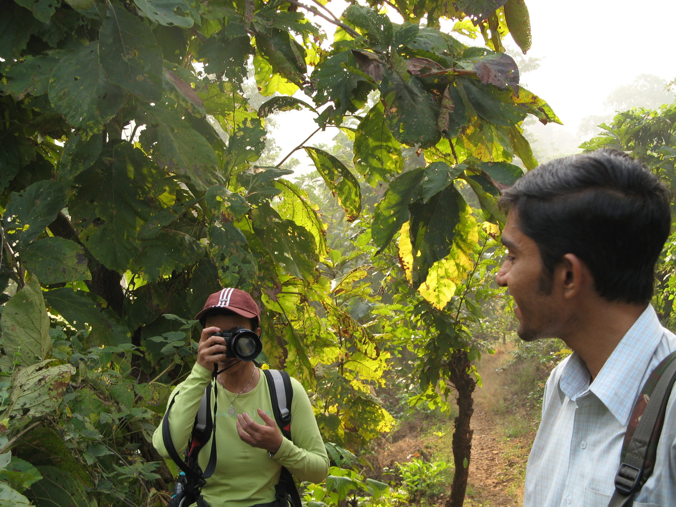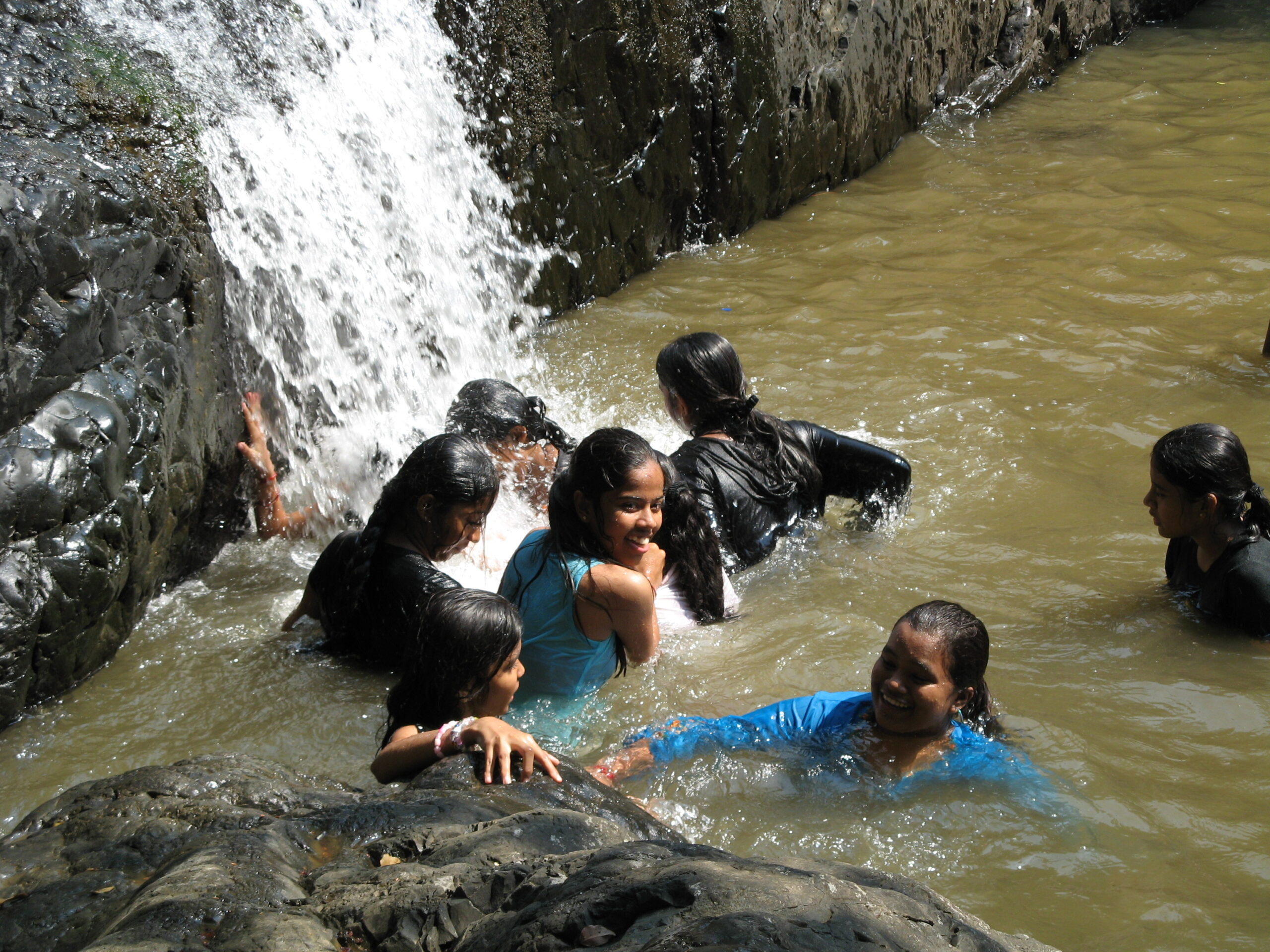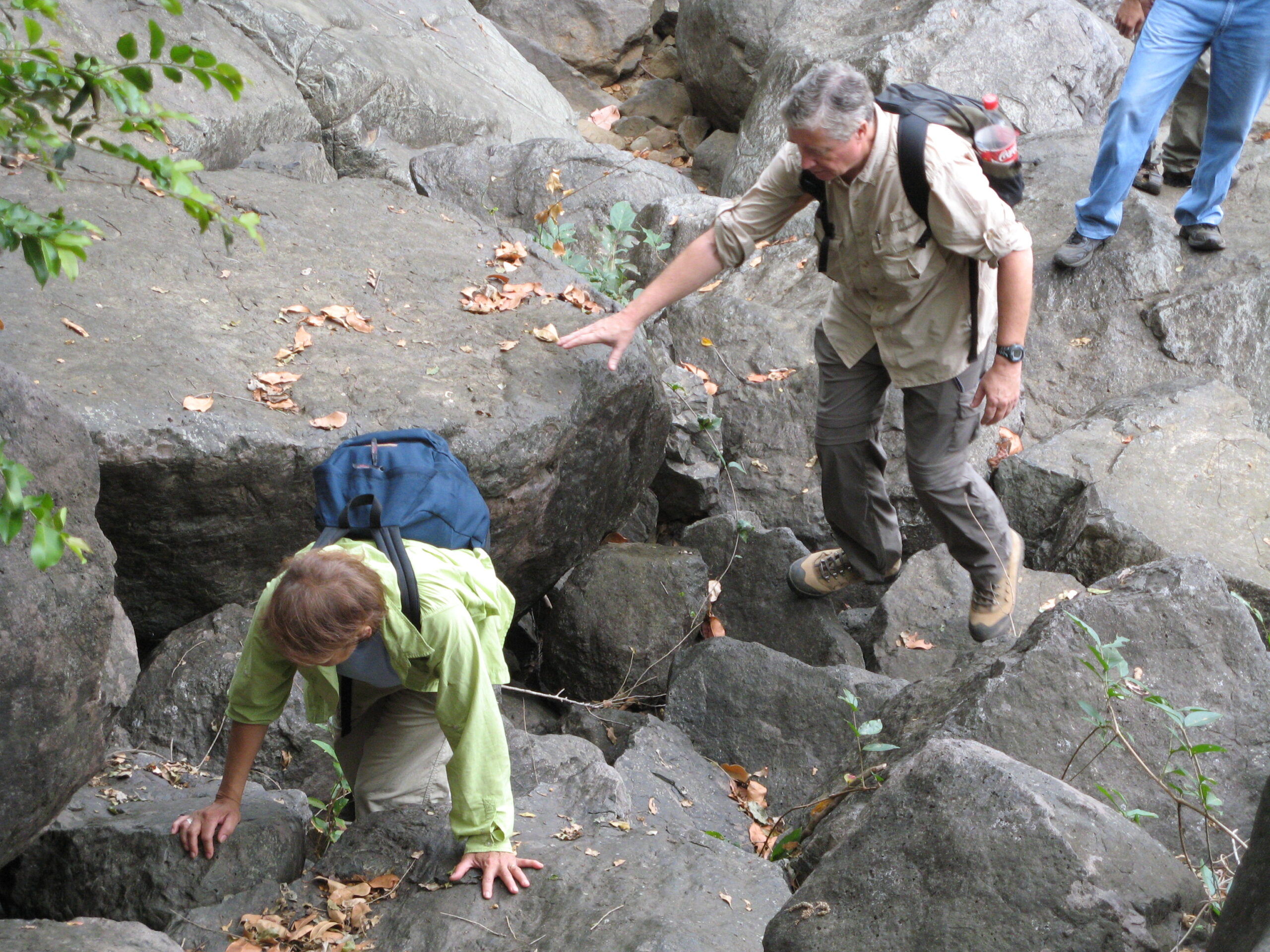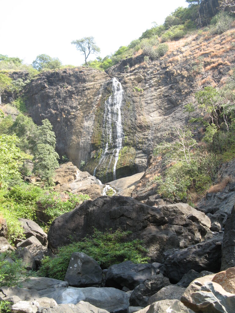
It is situated in the lap of the Tungareshwar group of hills. It lies to the east of the Mumbai-Ahmedbad highway and is easily approached from either Naigoan or Vasai stations. I first visited these hills 40 years ago, around 1982, when hiking was enjoyed only by a few, compared to the numbers today. My first visits were in the heart of monsoon, but I soon learnt, that the best time to enjoy these forests is post monsoon, and right through winter. As one crosses streams(rivulets) at a number of places, it has proved that going there during the rains can be extremely dangerous. Water can rise from 1-2 feet to 6-8 feet in about half-en-hour and where there is a decline the force of water is unimaginable. At times, impossible to cross, even with a rope. During winter the flow of water is gentle and soothing, so unlike the force and noise of the monsoon, of course, which is also enchanting in it’s own way.
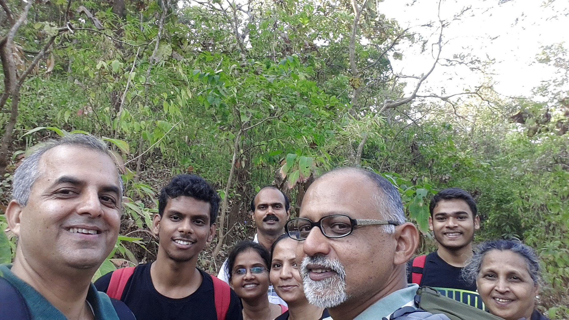
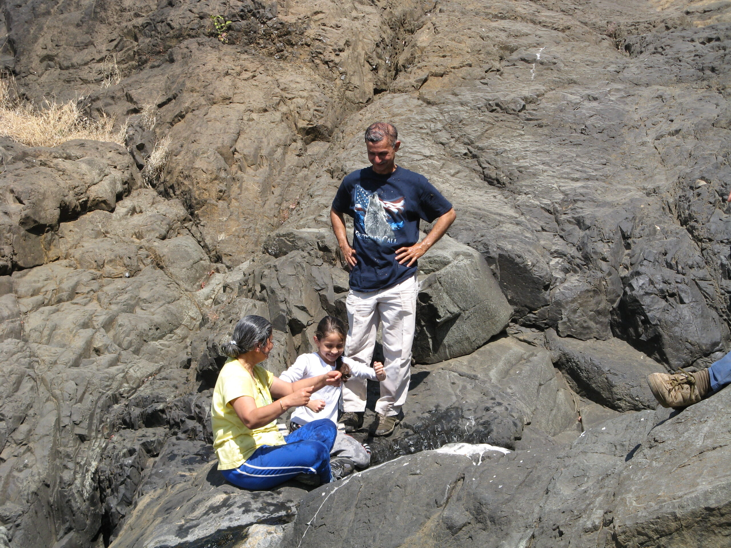
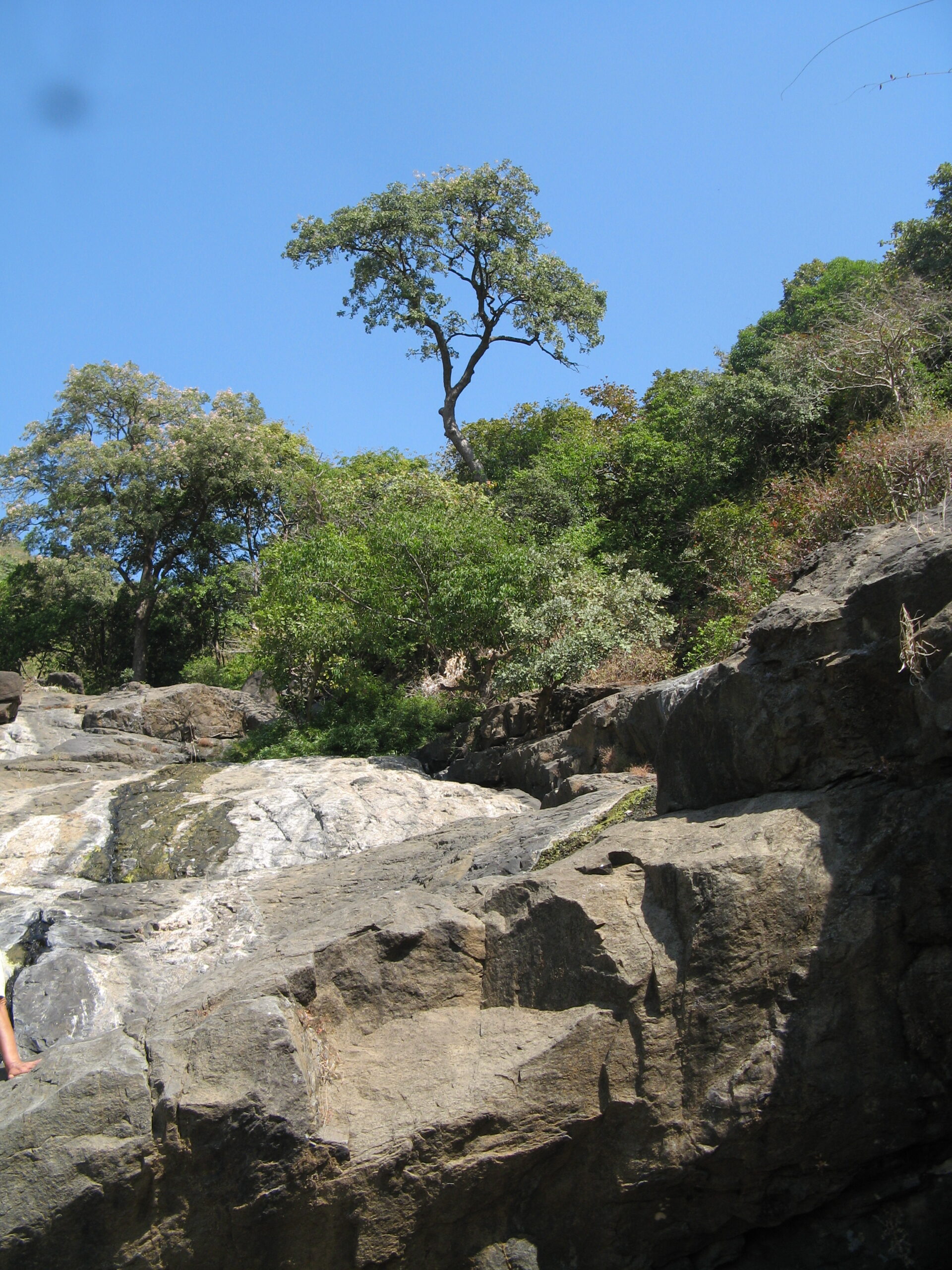
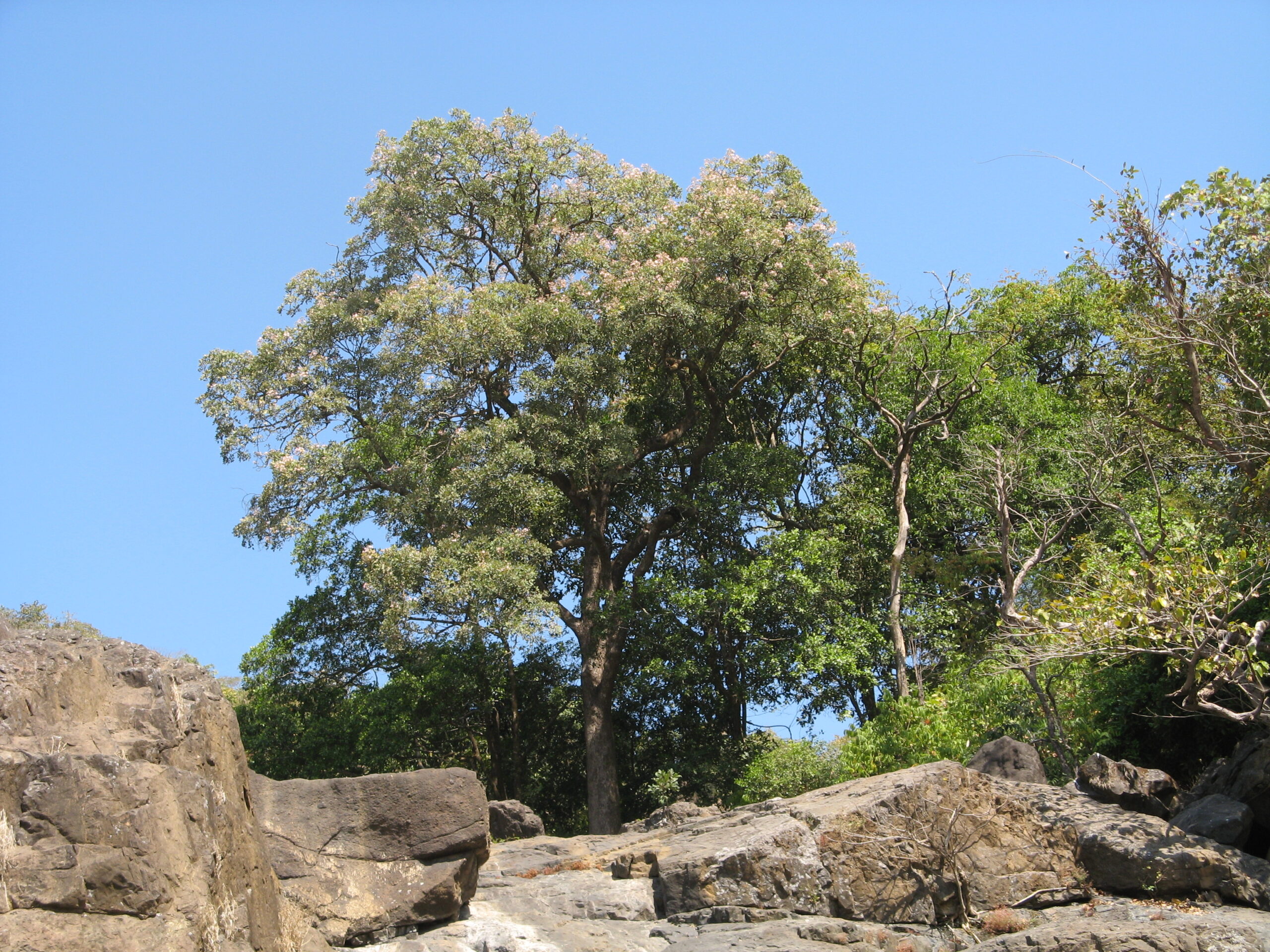
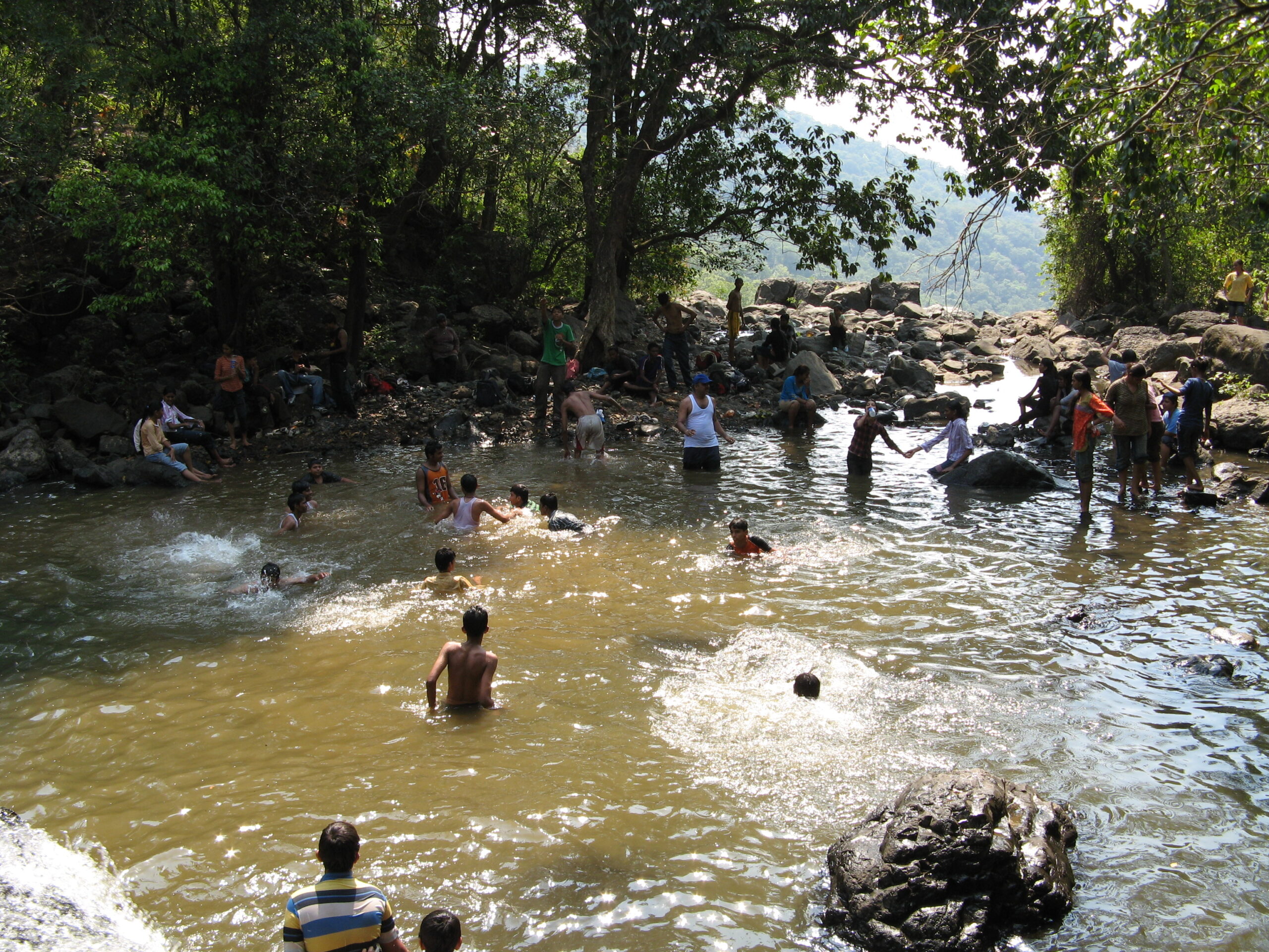
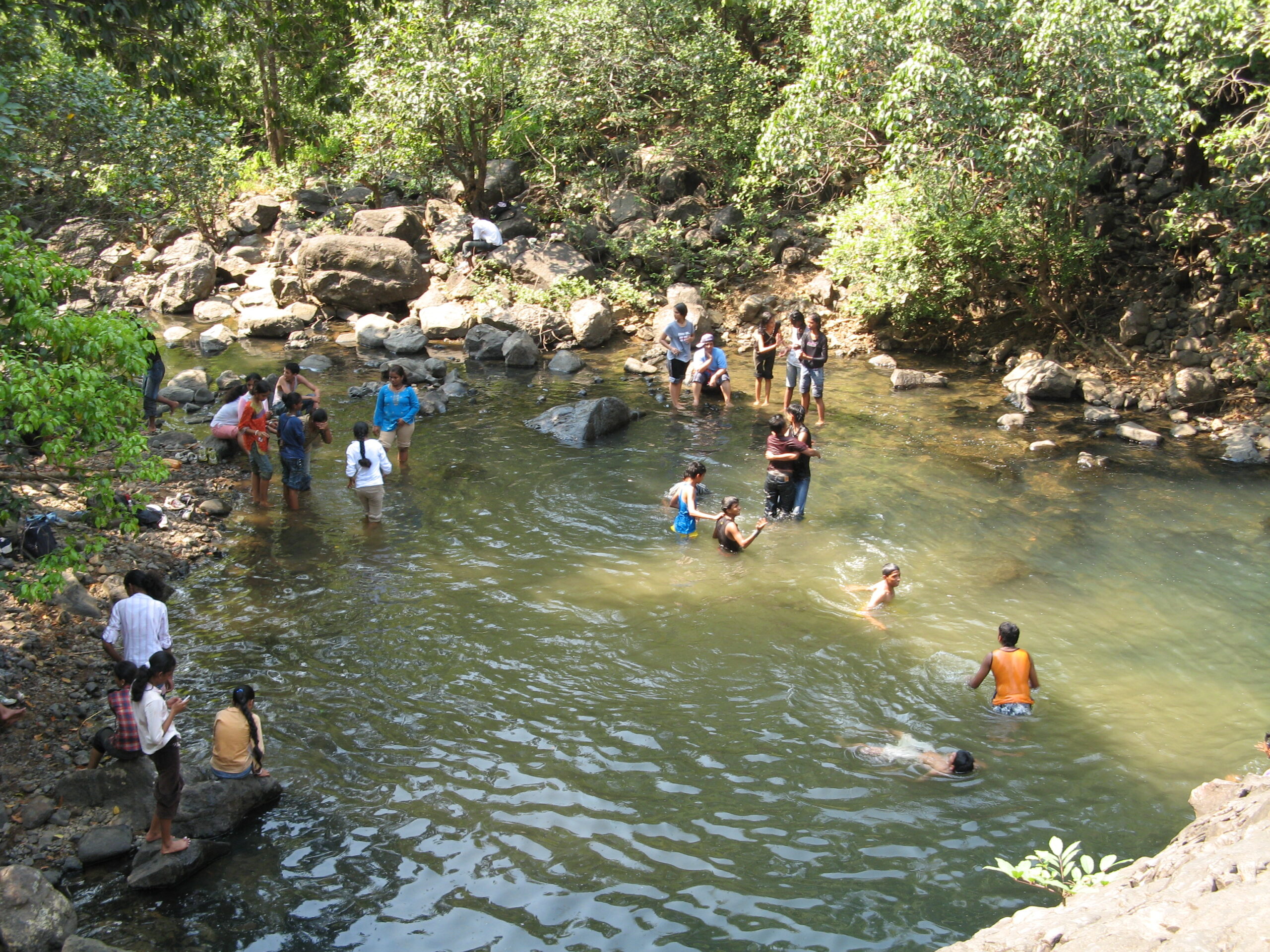
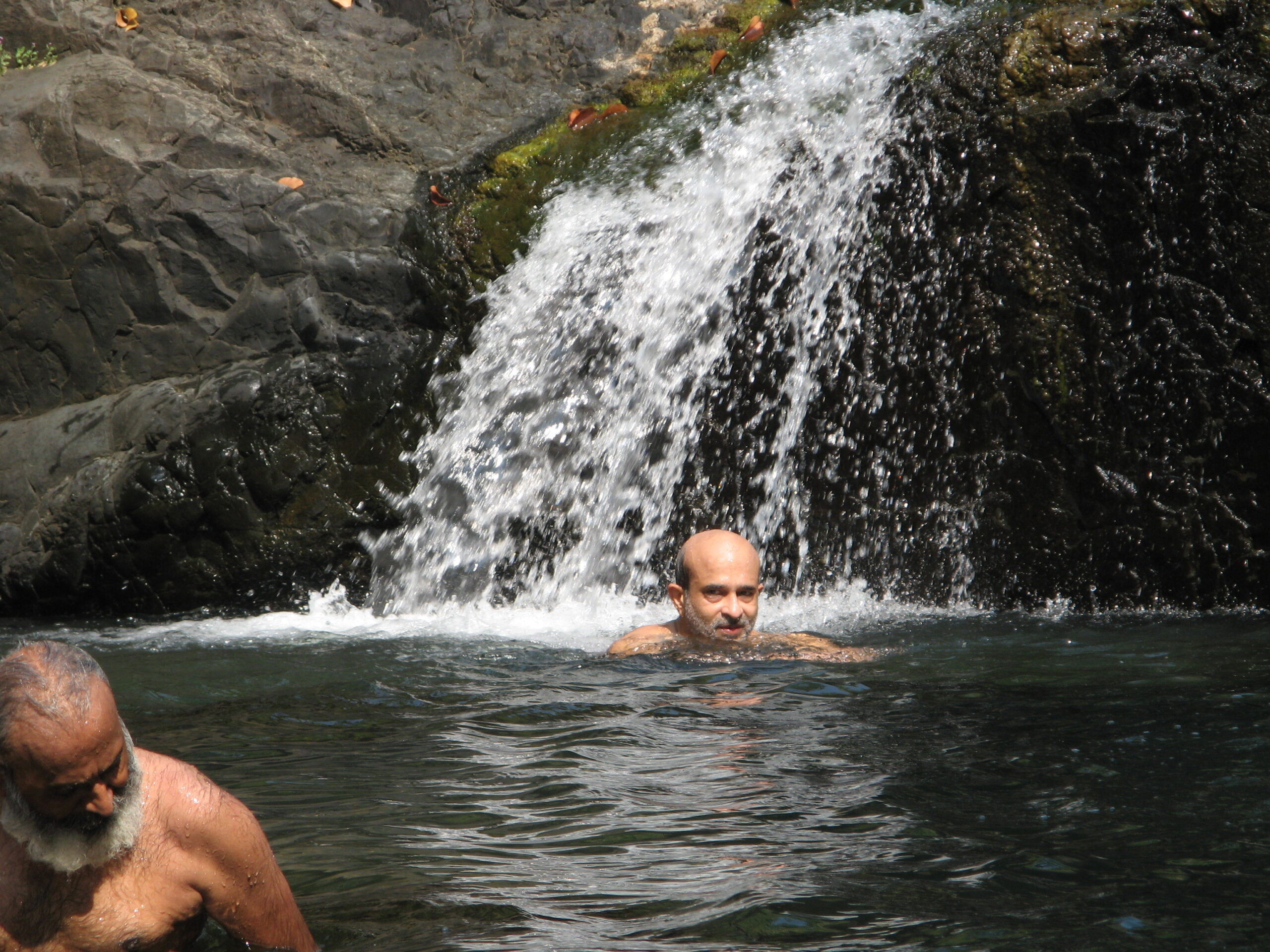
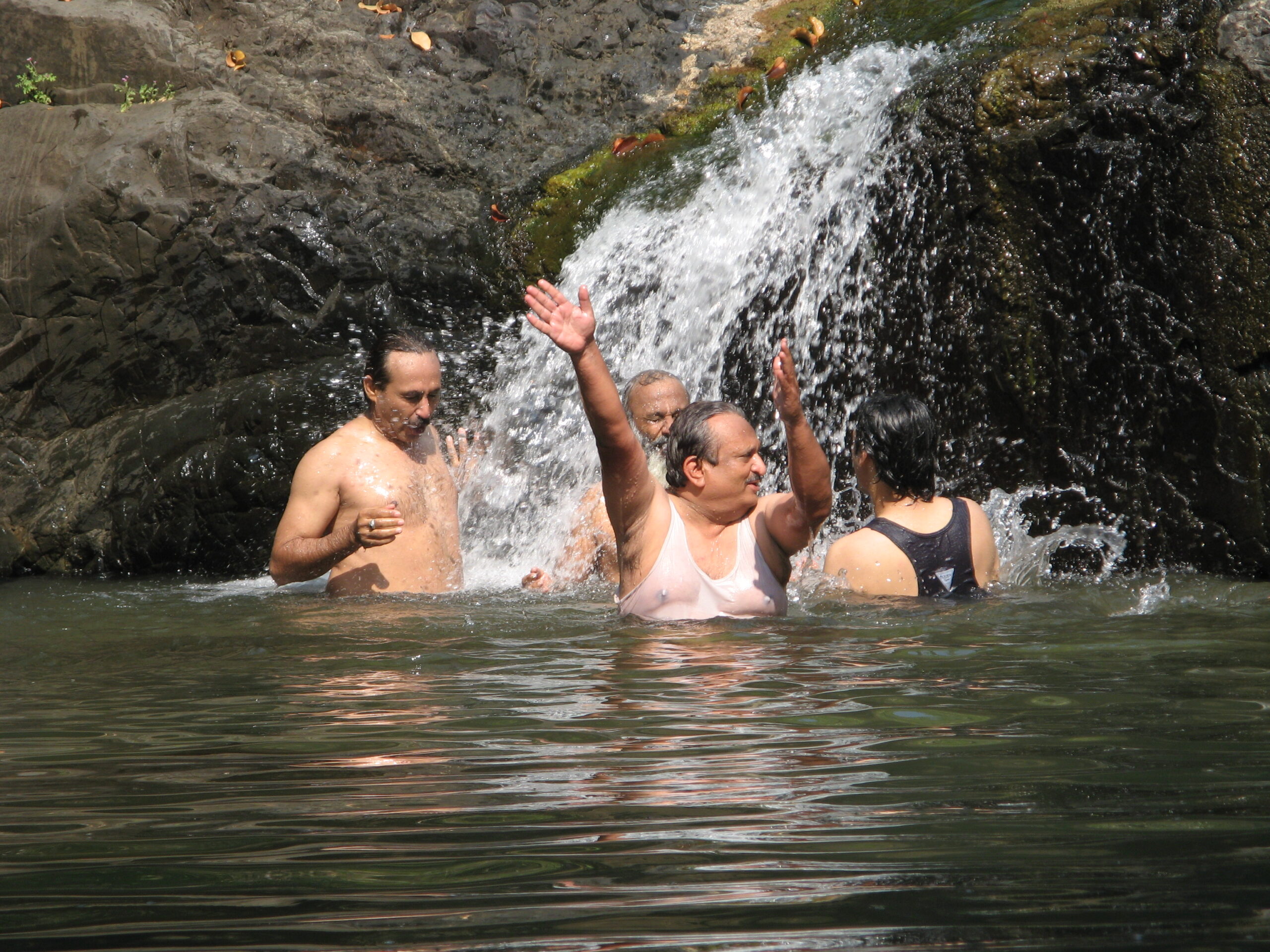
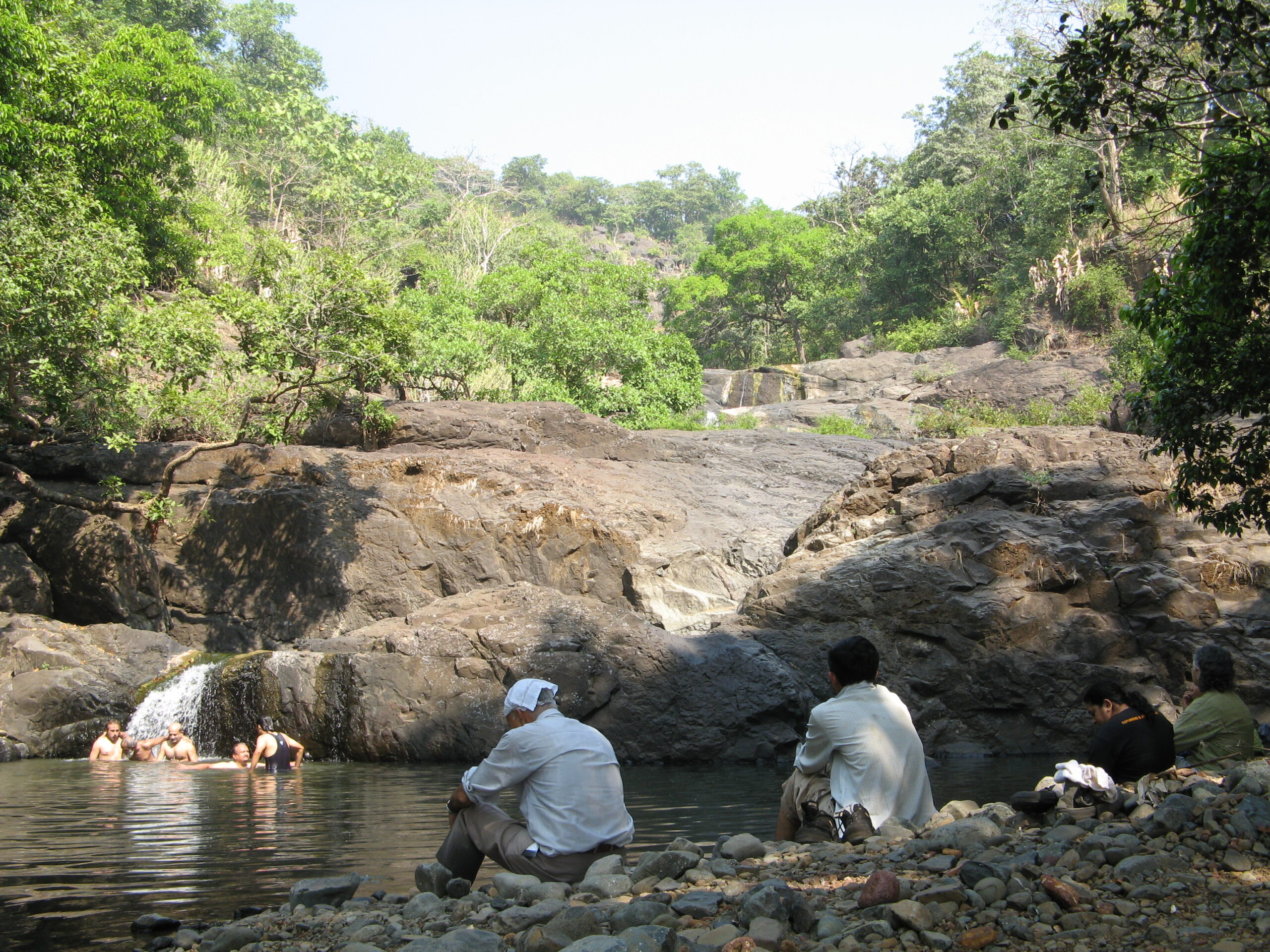
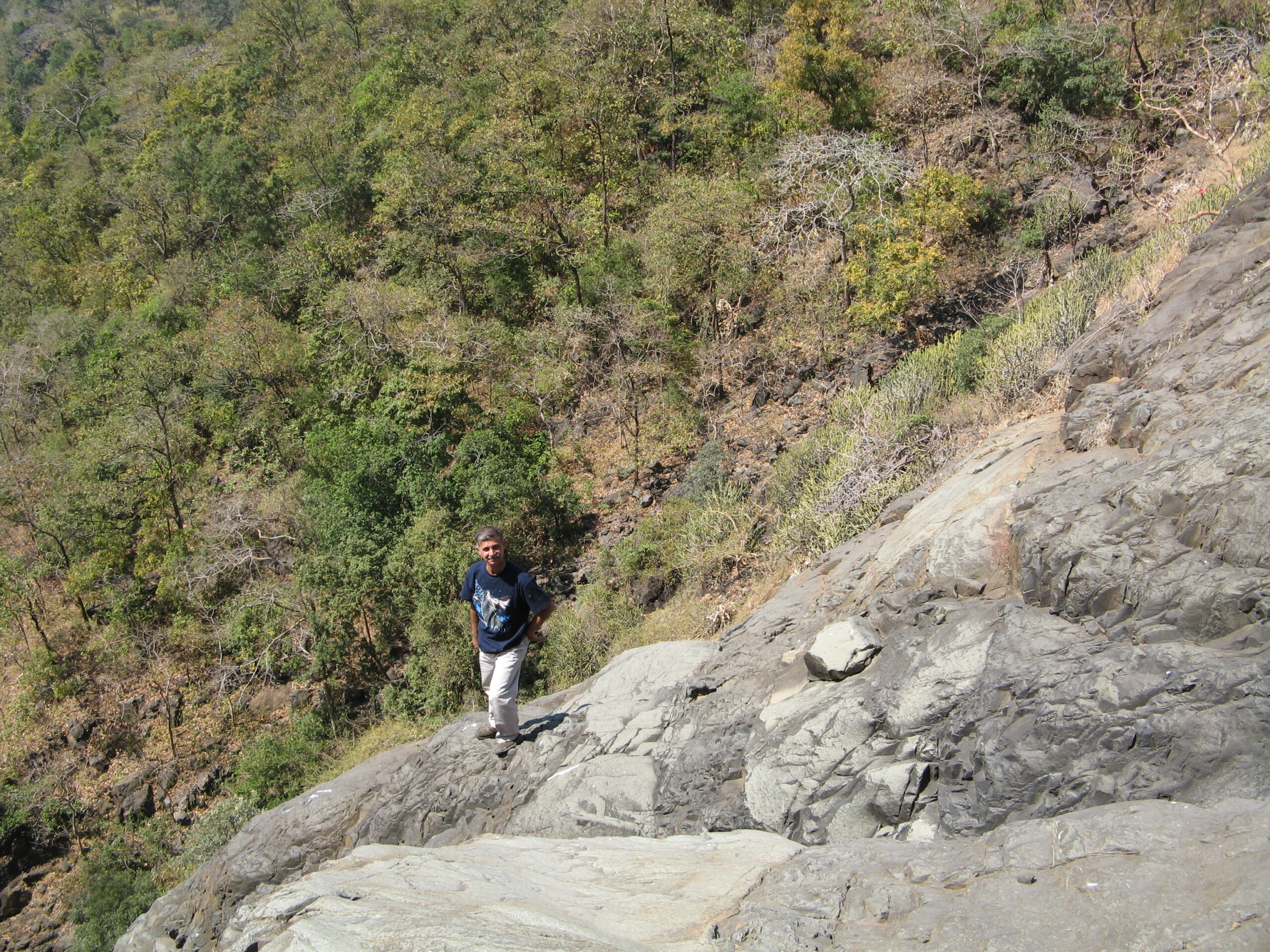
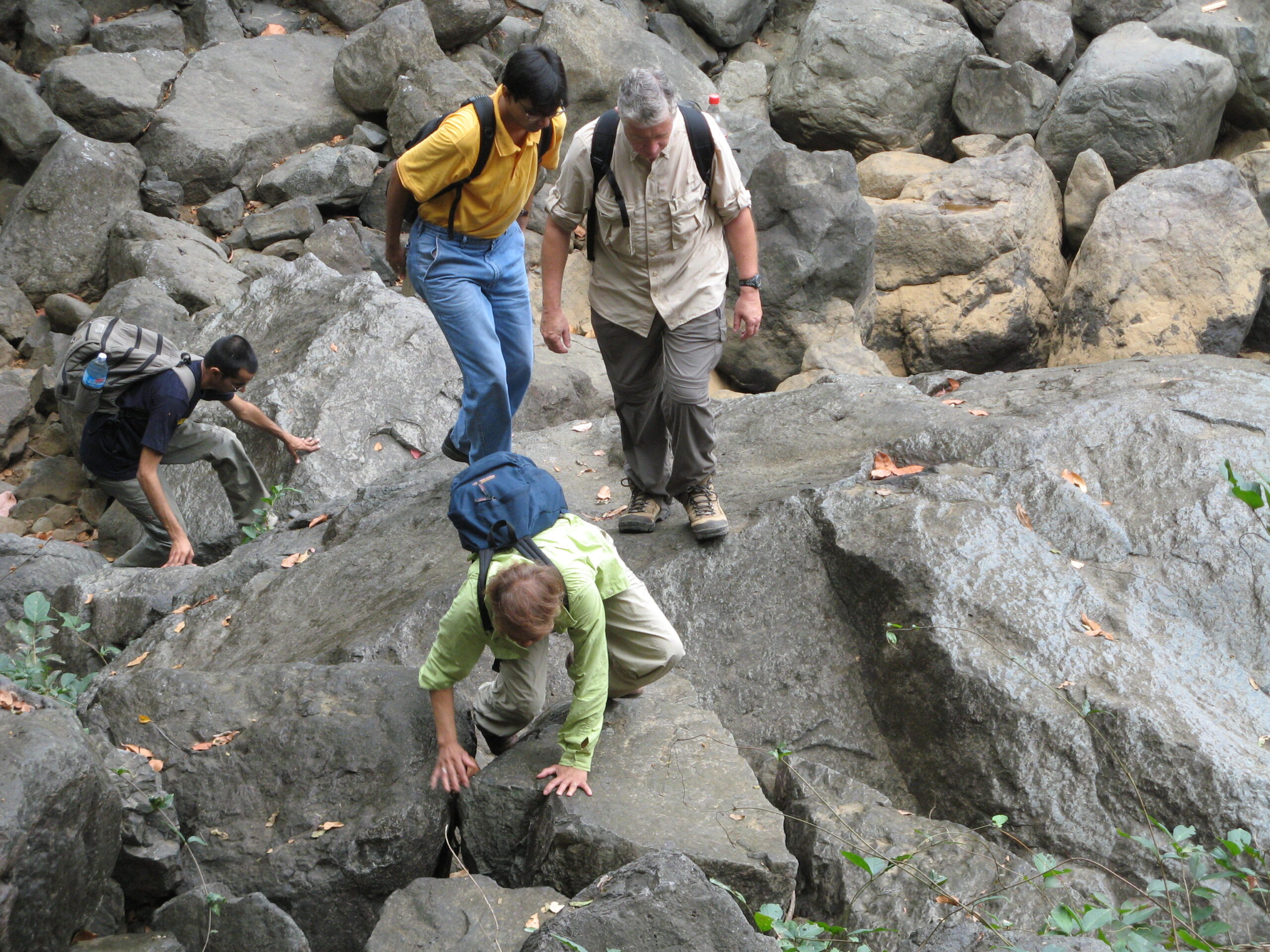
During the last 40 years I have lost count of the number of trips made, could easily have made more that 50, with an assortment of groups and friends, sometimes 2-3, even going up to 80. It was by no means a simple hike as we used to trek from the lower falls, to the upper falls, via the flow of water. From the upper falls it was impossible to climb up the flow as there is a steep drop of around 100-150 feet, one could do a steep scramble up from the right of the falls, but it was not for the fainthearted. The path from the upper falls to what I called the upper-upper falls is a steep bush trail, with thick undergrowth and hardly used by the locals. We would invariably get lost here, but would ultimately find our way. We would reach a trail about 200 feet above the falls and make a steep descent to one of the most enchanting places. This was an area where the river valley would open up and on a clear day you could see the Arabian sea and the Vasai creek. At this spot there was a lovely safe pool that water lovers would just dive into. There are a couple of more pools at higher levels as the stream climbed up. We again have to break through steep bush, also on the right of the stream to reach a point where the stream would take a sharp turn. At the point there was a well trodden steep uphill climb that would take us the broad motor able mud track that went from the lower Tungareshwar temple to the higher one. A one and half to two hours descent would take us the highway at Tungareshwar.